Dry Creek Falls is accessed via the Pacific Crest Trail out of Cascade Locks. Often Dry Creek falls doesn’t have any signs because the locals seem to enjoy removing any signs indicating the side-trail to the waterfall. Dry Creek Falls never actually runs dry, but the creek would “dry-up” in summers just a bit below the present-day PCT bridge. Cascade Locks once Used Dry Creek for the town’s water supply and at the waterfall you’ll see the remains of these formerly-used diversion works.
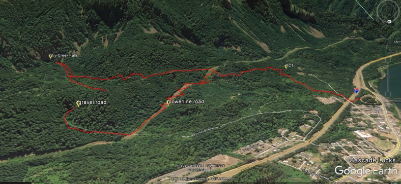
New for the 4th edition of Curious Gorge is a loop route from Dry Creek Falls to explore the summertime-dry creekbed, the old water storage structure….and then looping back up to the PCT via the powerline service road. I think this makes for a more interesting visit to the falls than the traditional out/back…..but the powerline service road does have some super-steep short up/downs before re-connecting with the PCT.
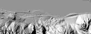
Here are some maps to help you visualize the unorthodox loop route:
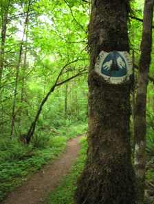
Ater a couple of miles on the PCT, you’ll arrive at a bridged crossing of Dry Creek. Instead of crossing the bridge, you instead want to go up the road next to Dry Creek for a few hundred yards to the semi-hidden waterfall.
This is some of the diversion works at Dry Creek falls that once robbed the lower creek of its flow:


I hiked this trail this past weekend and missed the waterfall. Hung out by the bridge for a while, so my dog could play in the water, but missed the trail to the waterfall. Should have had your book with me (I left it in the car)! Great trail to hike though and nice view of Stevenson if one walks just a little bit further past the creek after crossing the bridge.
Sorry you missed the waterfall. Good stuff in our Gorge rarely has signs!! Bring the book….always!! cheers, scott
Interestingly, you can drive all the way up to the falls! It’s not obvious, and you’ll need a pretty sturdy 4wd (an SUV will leave paint and oilpan dents, as evidenced by the rocks on the road) but it’s passable. Drive up Dry Creek Road, and just…. keep going uphill. I walked back from the falls down this road all the way into Cascade Locks after following the trail in as described in the book.
Additionally, there is a seriously difficult scramble up the side of the falls to the left of the fall pool (along the rock face) if you’re interested, though it’s not for easily-injured or those with dogs in tow. Bring gloves – it’s loose shale and rubble, and it’s a hands-and-butt slide back down; no way around it.
Read this if you plan to hike this.
Our book said “in a mile you’ll come to a powerline road – go right for 100 yardsand then left back onto the trail”. We did that and never found a trail. We ended up just crossing across the powerline road and staying on the PCT trail. Nice hike, nice falls.