Here is the Free Bridge across the Deschutes River, photo circa 1914 (sometime soon after the completion of the Up railroad seen in the background).

Below is a 1957 topo map showing the Free Bridge road.

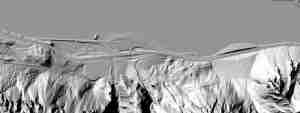
Below are photos from the FreeBridge road as it descends into the canyon of the Deschutes River.


The two bridge stanchions are across the river from where the Free Bridge road descends.

Below is one of the bridge stanchions that has sat in the middle of the Deschutes since the Free Bridge mysteriously collapsed in 1914.

